Palm Plantation Mapping
- Home
- Case Study
- Palm Plantation Mapping
Snap Shots

Palm Plantation Mapping
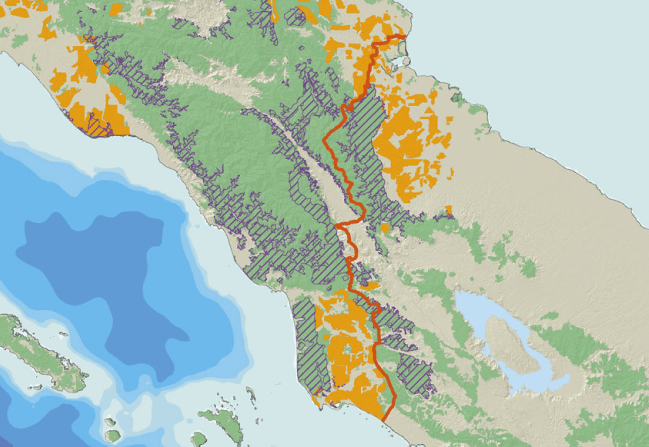
MODIS, Landsat datasets were primarily used to identified deforestation in the rainforests across Indonesia. These deforestations were then tracked to identify whether Palm plantations were planted or natural regeneration proceded after deforestation.
Client
Theresa Dasilva
Project Value
$679
Date
June 14, 2022
Category
XD Design