Utility Line Encroachment Identification
- Home
- Case Study
- Utility Line Encroachment Identification
SnapShots

Utility Line Encroachment Identification
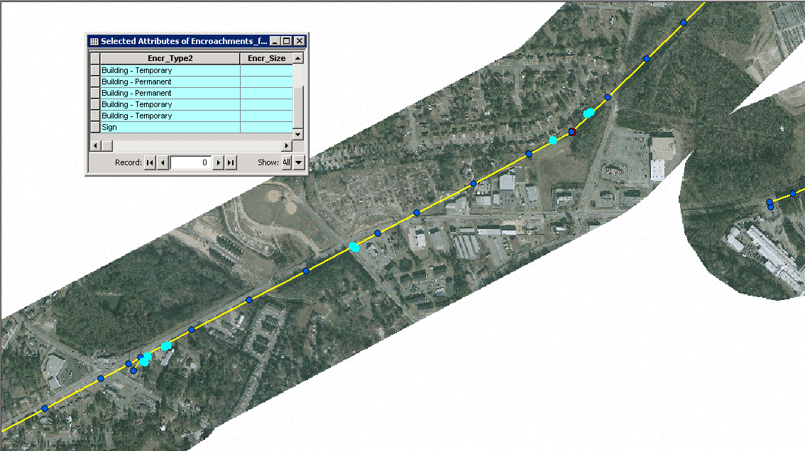
Encroachments along the utility lines need to be managed. Client had collected orthophotos, helicopter based high resolution video alongwith list of approved encroachments along their entire Right of Way (ROW). kCube used high resolution change detection to capture potential locations of encroachments and then each location was also verified. Two independent teams were tasked with verification. This double blind process ensured accuracy exceeding 99%. Images extracted from the video were also geocoded to the structure location for import into the client DB.
Client
Theresa Dasilva
Project Value
$679
Date
June 14, 2022
Category
XD Design